This is a smaller scale version of Monument Valley with tall, red, isolated sandstone mesas and cliffs standing above the level valley floor. We toured this area via a 17 mile dirt road (FR 242) that winds amongst the formations; this is very steep and bumpy. The western end joins UT 261 shortly before its 1,200 foot ascent up Cedar Mesa.
 |
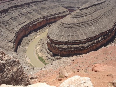
| The river does a 180 degree turn here |
 |
| Layered cliffs around the San Juan River, seen from Muley Point |
 | ||
| A short rest and on to Mexican Hat |


No comments:
Post a Comment